All Points Surveying: Precision in Geospatial Excellence
About Us
We have 30+ years of experiences for give you better quality results.
Precision in Every Detai
Welcome to All Points Surveying, your trusted partner for cutting-edge LiDAR, Photogrammetry, and Land Surveying services. We specialize in providing accurate geospatial solutions tailored to meet your unique needs.


Call Us
Services We’re Offering
3D Laser Scanning
Precision 3D mapping with LiDAR: Unparalleled accuracy for diverse applications.
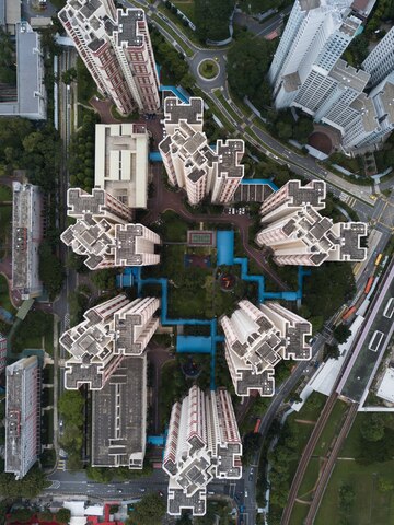
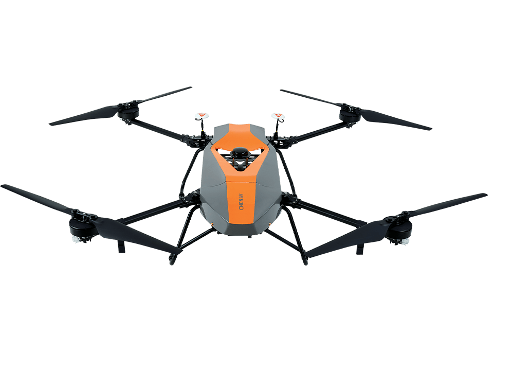
Aerial Solutions
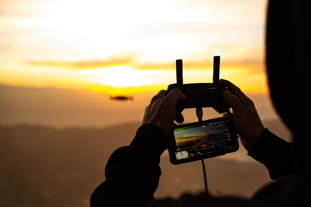
Elevate projects with Aerial LiDAR: Precision, innovation, high-res imagery, detailed 3D models.
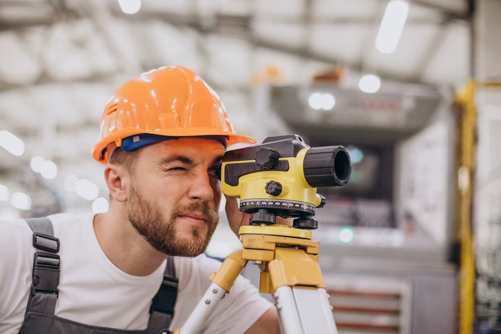
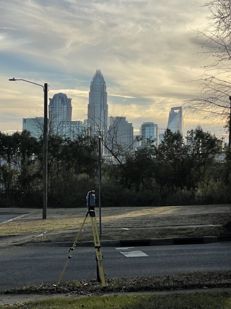
Land Surveying
Enhance land surveying with experts, precise services, state-of-the-art equipment support.


Years
Experience
Why Choose Us
Precision and Accuracy
At All Points Surveying, we prioritize precision in every aspect of our services. Our advanced technologies and skilled professionals guarantee accurate and reliable geospatial data.
- Tailored Solutions
- Cutting-Edge Technology
- Entum estibulum dignissim posuere.
- Donec tristique ante vel sem dictum rhoncus.
Tailored Solutions
We understand that every project is unique. Our team collaborates closely with clients to tailor our services to their specific requirements, ensuring optimal results and cost-effectiveness.
Cutting-Edge Technology
Stay ahead in the industry with our use of cutting- edge LiDAR and Photogrammetry technologies. We continually invest in the latest equipment to provide you with the most advanced and efficient solutions.
Experienced Professionals
Our team comprises experienced surveyors and geospatial experts dedicated to delivering exceptional results. Trust us to handle your projects with expertise and a commitment to excellence.
Client-Centric Approach
Your satisfaction is our priority. We maintain transparent communication throughout the process, keeping you informed and involved. Our client-centric approach ensures a positive experience from project initiation to completion.
Our Gallery
Mission Statement
Our mission is to provide unparalleled surveying services that contribute to the success and sustainability of our clients’ projects. We strive to be the go-to surveying firm, recognized for our precision, innovation, and unwavering commitment to excellence.
Faq
LiDAR, or Light Detection and Ranging, is a remote sensing technology that uses laser light to measure distances. In projects, LiDAR provides high-resolution point cloud data for precise 3D mapping and analysis. Its benefits include unparalleled accuracy in assessing terrain, structures, and vegetation, making it invaluable for environmental monitoring, urban planning, and infrastructure development.
Aerial LiDAR utilizes drone technology to capture high-resolution aerial imagery, transforming landscapes into accurate 3D models. Unlike traditional surveying methods, it offers greater efficiency, speed, and detailed insights. This technology is particularly advantageous for construction, agriculture, environmental monitoring, and urban planning projects.
Our land surveying services stand out due to the expertise of our seasoned surveyors and the use of state-of-the-art equipment. We offer comprehensive services, including boundary surveys and topographic mapping, ensuring reliable and detailed results. From project inception to completion, our team is dedicated to delivering precision and excellence.
We understand that every project is unique. Our team collaborates closely with clients to tailor our geospatial services to their specific needs. This client-centric approach ensures optimal results and cost-effectiveness, addressing the individual requirements of each project.
Client satisfaction is our priority. We maintain transparent communication throughout the entire process, keeping clients informed and involved. Our commitment to precision, innovation, and excellence, combined with a client-centric approach, ensures a positive experience from project initiation to completion.
Client-Centric Approach
Explore the possibilities with All Points Surveying and revolutionize your geospatial insights. Contact us today to discuss how our LiDAR, Photogrammetry, and Land Surveying services can elevate your projects to new heights.
Your satisfaction is our priority. We maintain transparent communication throughout the process, keeping you informed and involved.


